
Monday Sunny |
Tuesday Sunny |
Wednesday Sunny |
Thursday Slight Chance Showers And T-Storms |
Friday Slight Chance Showers And T-Storms |
Saturday Slight Chance Showers And T-Storms |
Sunday Slight Chance Rain Showers |
|
| High: 88 °F | High: 88 °F | High: 87 °F | High: 87 °F | High: 87 °F | High: 87 °F | High: 86 °F | |
Tonight Mostly Clear |
Monday Night Mostly Clear |
Tuesday Night Mostly Clear |
Wednesday Night Mostly Clear |
Thursday Night Mostly Clear |
Friday Night Mostly Clear |
Saturday Night Mostly Clear |
|
| Low: 57 °F | Low: 55 °F | Low: 55 °F | Low: 55 °F | Low: 55 °F | Low: 57 °F | Low: 55 °F | |
Ben's WX Summary
- Updated: Sunday @ 05:54pm
We experienced a very warm weekend, even breaking a record high of 91 degrees for that date on Saturday. A smidge cooler today, but still toasty as temperatures hit the upper 80s. Expect a nice evening with mild temperatures and light winds as lows cool to the 50s and 60s. Continued warm early next week as highs peak in the upper 80s Monday and Tuesday, cooling to the mid-80s during the second half of the week. As high pressure flattens out around the middle of next week, it will shift off to our east and elongate, resulting in an east to southeasterly flow across Southern California. This could draw monsoon moisture into the region for an increased risk of afternoon convection, with isolated thundershowers possible later in the week.
| Current Conditions | Wind | Rain | Outlook | ||||||||||||||||||||||||||||||||||||
|
|
|
|
||||||||||||||||||||||||||||||||||||
| Humidity & Barometer | Snowfall | Moon | |||||||||||||||||||||||||||||||||||||
|
|
|
|||||||||||||||||||||||||||||||||||||
| UV Index | Solar Radiation | ||||||||||||||||||||||||||||||||||||||
|
|
||||||||||||||||||||||||||||||||||||||


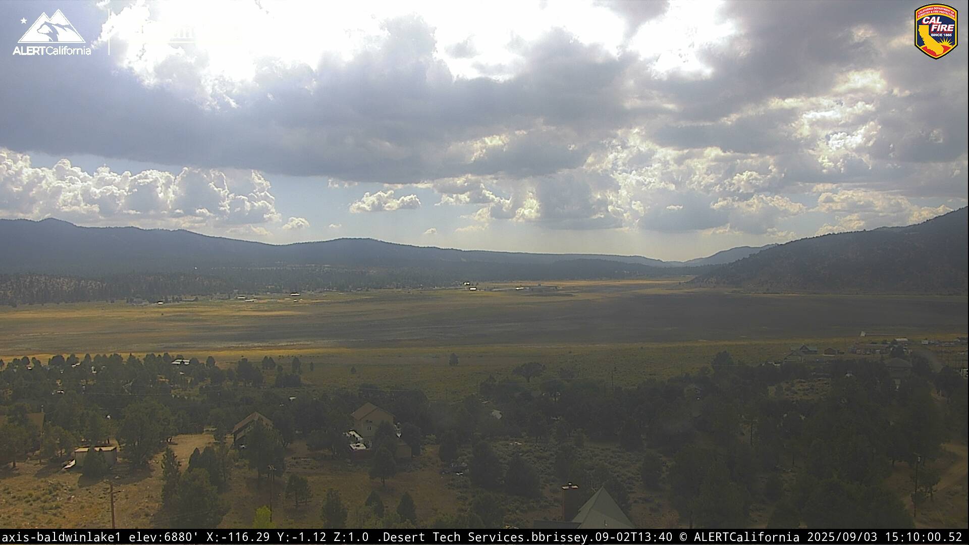
Live Cams