
Thursday Snow Showers |
Friday Snow Showers Likely |
Saturday Slight Chance Snow Showers then Mostly Sunny |
Sunday Sunny |
Monday Sunny |
Tuesday Sunny |
Wednesday Sunny |
|
| High: 41 °F | High: 34 °F | High: 39 °F | High: 46 °F | High: 50 °F | High: 50 °F | High: 49 °F | |
Tonight Mostly Clear |
Thursday Night  Snow Showers |
Friday Night  Chance Snow Showers |
Saturday Night Mostly Clear |
Sunday Night  Clear |
Monday Night Mostly Clear |
Tuesday Night  Partly Cloudy |
|
| Low: 22 °F | Low: 24 °F | Low: 24 °F | Low: 27 °F | Low: 29 °F | Low: 31 °F | Low: 29 °F | |
Ben's WX Summary
- Updated: Wednesday @ 10:09pm
Our third and final storm in the latest series will approach the area on Thursday with clouds and winds increasing throughout the day, a few light showers are possible during the morning. Cool and windy with a high near 40 degrees, southwest winds gusting 15-25 mph during the afternoon. Once again, we'll be dealing with a closed/cutoff low-pressure system parking itself off the Southern California coast. The result will be a moist onshore flow with rain and snow, possibly heavy at times Thursday night as a frontal boundary traverses the region. The snow level will kick off around 6,500-7,000 feet, lowering to near 6,000 feet Thursday night, then settling around 6,500 feet on Friday into Saturday. With most of the Big Bear Valley sitting at about 6,800 feet, chances are good for some decent snowfall, but just a few hundred feet difference with the snow level could change us to rain vs snow. At this time, this looks like more of a snowy event for us with snow showers continuing under a wrap-around flow on Friday, tapering off Saturday morning. Total snowfall accumulations of 4-8 inches look likely, with isolated higher amounts around one foot or more possible, especially above 7,000 feet. Travelers should be extra prepared if venturing into the mountains through the weekend. Always pack extra food, water, warm clothing, have a full tank of gas and carry tire chains. Things will settle down by Sunday as low pressure ejects off to our east with gorgeous weather expected as we approach the Thanksgiving Holiday weekend.
| Current Conditions | Wind | Rain | Outlook | ||||||||||||||||||||||||||||||||||||
|
|
|
|
||||||||||||||||||||||||||||||||||||
| Humidity & Barometer | Snowfall | Moon | |||||||||||||||||||||||||||||||||||||
|
|
|
|||||||||||||||||||||||||||||||||||||
| UV Index | Solar Radiation | ||||||||||||||||||||||||||||||||||||||
|
|
||||||||||||||||||||||||||||||||||||||


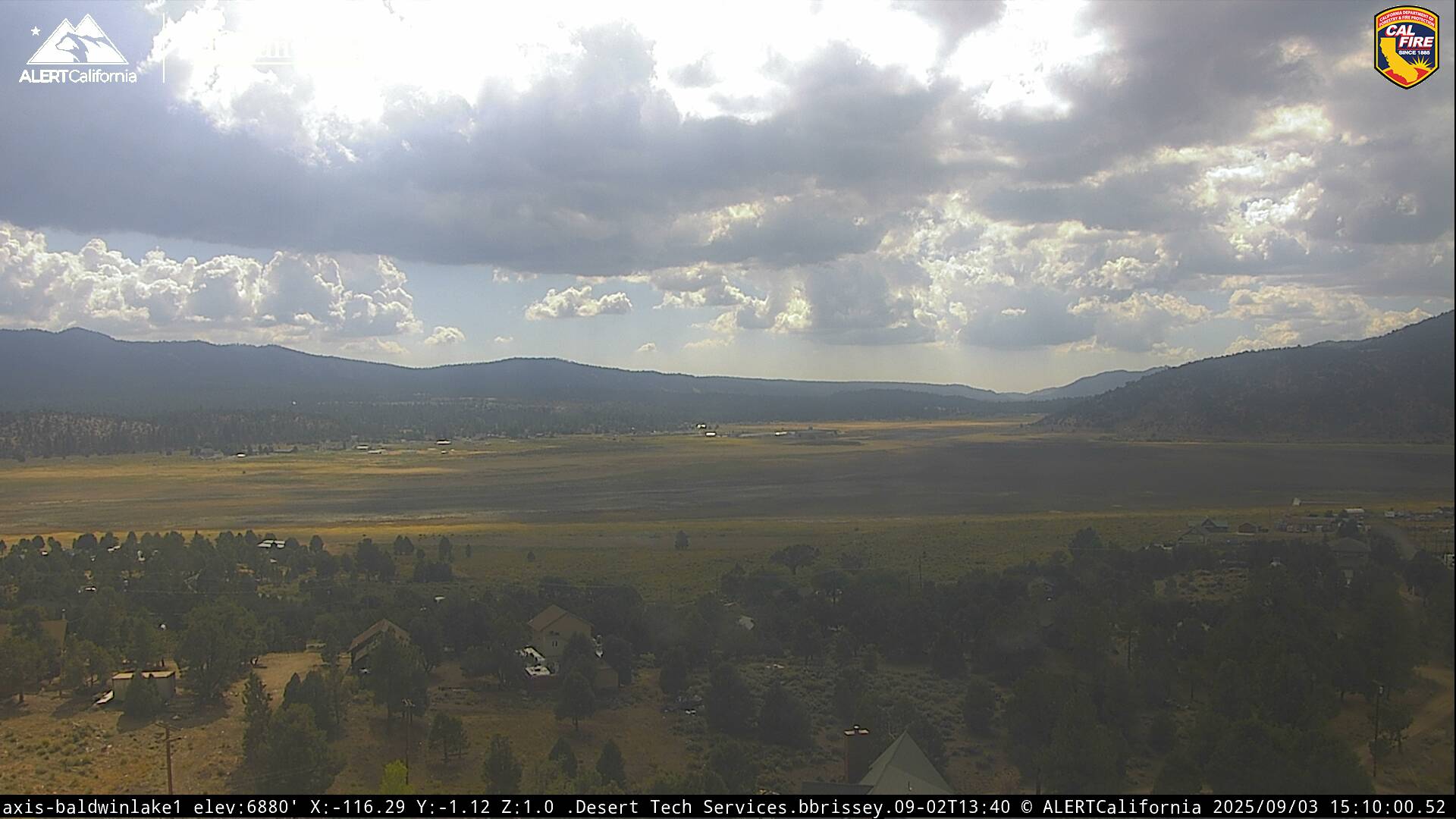
Live Cams