
| This Afternoon  Sunny |
Sunday Sunny |
Monday Sunny |
Tuesday Sunny |
Wednesday Sunny |
Thursday Slight Chance Rain Showers |
Friday Slight Chance Rain Showers |
|
| High: 89 °F | High: 89 °F | High: 88 °F | High: 88 °F | High: 87 °F | High: 87 °F | High: 86 °F | |
Tonight Mostly Clear |
Sunday Night Mostly Clear |
Monday Night Mostly Clear |
Tuesday Night Mostly Clear |
Wednesday Night Mostly Clear |
Thursday Night Mostly Clear |
Friday Night Mostly Clear |
|
| Low: 58 °F | Low: 56 °F | Low: 54 °F | Low: 55 °F | Low: 55 °F | Low: 57 °F | Low: 56 °F | |
Ben's WX Summary
- Updated: Saturday @ 12:47pm
Looking at a very warm weekend if not downright hot out there, with temperatures running about 10 degrees above average, where a heat advisory remains in effect through Sunday. High pressure will continue to strengthen through Sunday, pushing daytime temperatures up near the 90 degree-mark both today and tomorrow. Overnights will also remain pretty mild with lows in the 50s and 60s. We will experience westerly winds 10-15 mph during the afternoons with gusts to 20 mph. High pressure will begin to weaken and shift east next week, allowing for a very gradual cool down as we shave off a degree each day. Temperatures should reach the mid-80s by the middle of the week, but still slightly above average. As this ridge re-positions, we may also start to draw in some monsoonal moisture would could generate a few afternoon showers later in the week. Otherwise, expect hot and dry weather through the weekend; do what you can to stay cool and stay hydrated; don't forget about the pets!
| Current Conditions | Wind | Rain | Outlook | ||||||||||||||||||||||||||||||||||||
|
|
|
|
||||||||||||||||||||||||||||||||||||
| Humidity & Barometer | Snowfall | Moon | |||||||||||||||||||||||||||||||||||||
|
|
|
|||||||||||||||||||||||||||||||||||||
| UV Index | Solar Radiation | ||||||||||||||||||||||||||||||||||||||
|
|
||||||||||||||||||||||||||||||||||||||


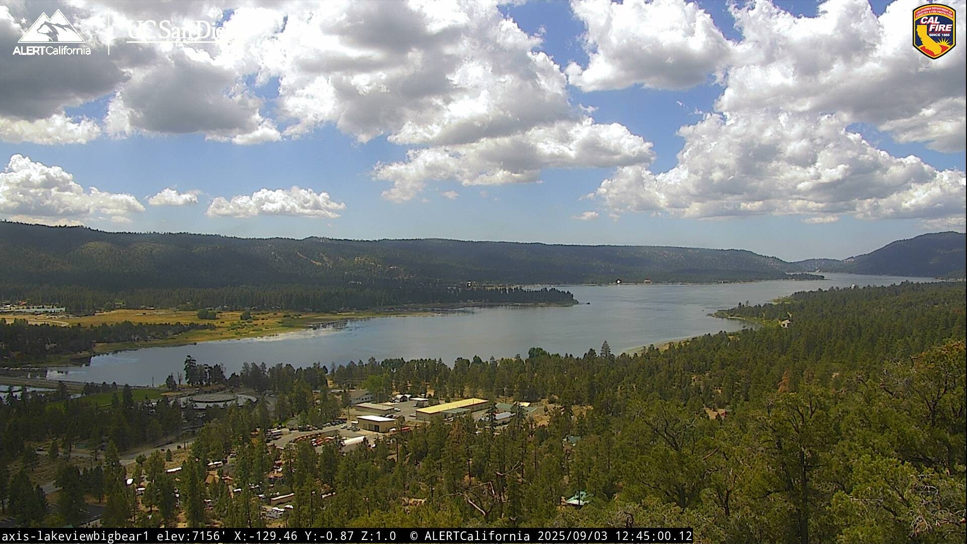
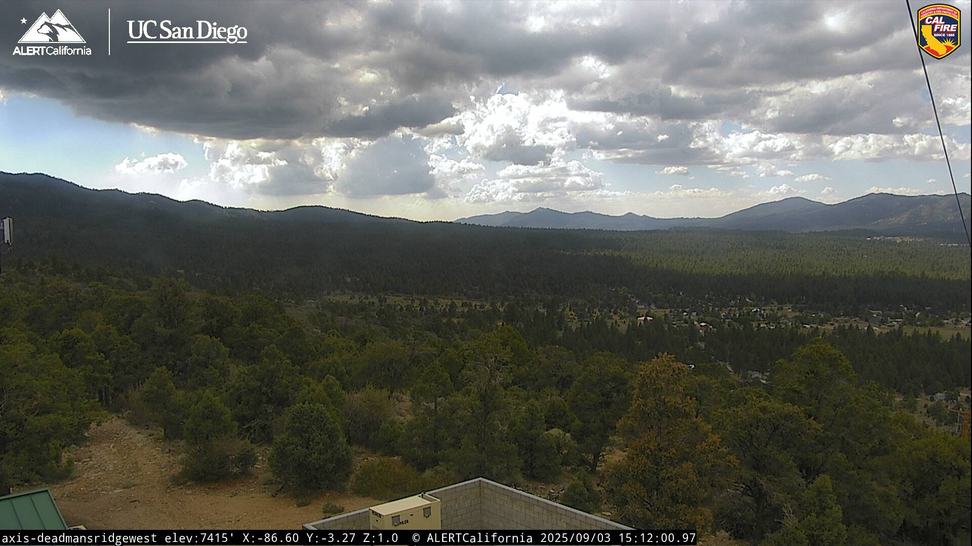
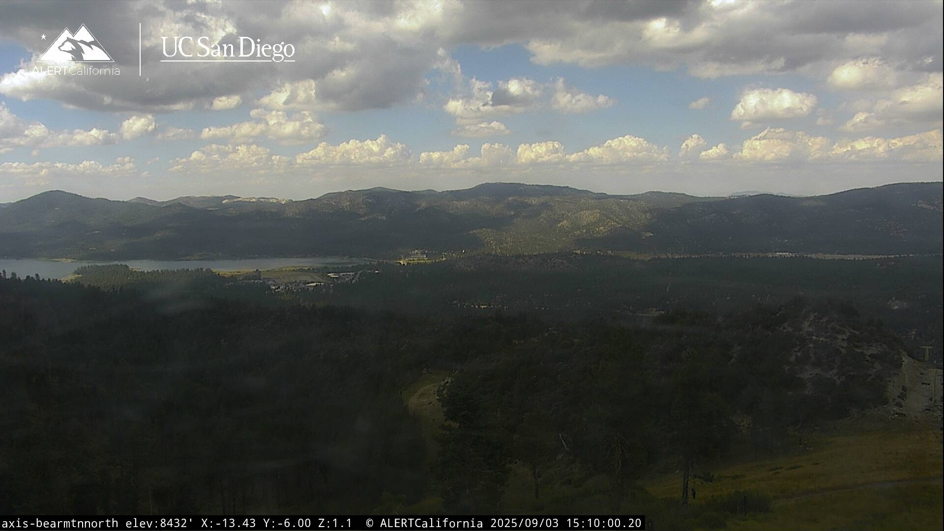
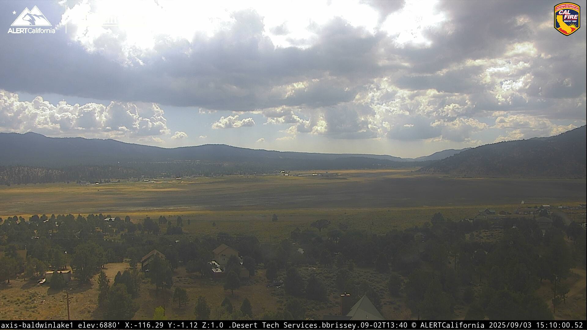
Live Cams